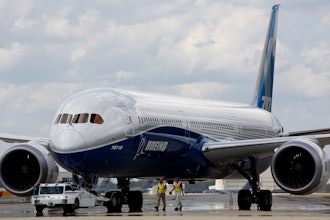
The March 2014 disappearance of Malaysia Airlines flight MH370, with 239 passengers aboard, left many people reeling — how can a plane “disappear” in this day and age, and how can we make sure it never happens again? A U.N. agency has found a solution.
Currently, commercial flights are tracked using ground-based radar. The problem there is that information breaks up over oceans and in other dead zones that add up to 70 percent of global airspace.
With a new system proposed by the U.N.’s International Telecommunication Union — agreed upon by 160-plus nations at Wednesday’s World Telecommunication Conference — planes will send transmissions containing their current location every 15 minutes via satellite.
The transmissions will be sent using a system planes already use to communicate with ground stations and other planes, called Automatic Dependent Surveillance-Broadcast (ADS-B). The agreement opens the radio frequency band used for ADS-B up for Earth-to-space communication.
How GPS Vehicle Tracking Can Transform Fleet Costs
“The allocation of frequencies for reception of ADS-B signals from aircraft by space stations will enable real-time tracking of aircraft anywhere in the world,” said Francois Rancy, ITU’s Radiocommunication Bureau director.
The response is “in record time to the expectations of the global community on the major issue concerning global flight tracking,” said ITU Secretary General Houlin Zhao.
Because there won’t be time-consuming installations, the requirement goes into effect in November 2016.
Are there other seeming missed opportunities you see for satellite tracking? Comment below or tweet @MNetKatie.